
Topographic (Topo) Surveying – Summary Notes
1. Definition
Topographic surveying is the process of measuring and mapping the natural and man-made features of a piece of land, including:
-
Elevation (relief)
-
Terrain shape
-
Buildings, roads, utilities
-
Trees, rivers, boundaries
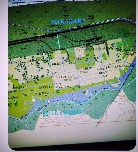
The final product is a topographic map (contour map).
2. Purpose of Topo Survey
-
Planning construction projects
-
Road and highway design
-
Drainage and irrigation planning
-
Land development
-
Environmental studies
-
Site grading and earthwork calculation
3. Main Features in Topo Survey
A. Natural Features
-
Hills and valleys
-
Rivers and streams
-
Trees and vegetation
-
Lakes and ponds
B. Man-Made Features
-
Buildings
-
Roads
-
Fences
-
Power lines
-
Sewers and drains
4. Contours
Contour Line
A line joining points of equal elevation above a datum (usually mean sea level).
Key Terms
-
Contour Interval – Vertical distance between consecutive contour lines
-
Index Contour – Every 4th or 5th contour drawn darker
-
Spot Height – Exact elevation of a point
-
Bench Mark (BM) – Fixed reference point with known elevation
Characteristics of Contours
-
Never intersect
-
Close spacing = steep slope
-
Wide spacing = gentle slope
-
Form V-shape when crossing rivers (V points upstream)
5. Methods of Topographic Survey
A. Direct Method
Points of equal elevation located directly in the field.
B. Indirect Method (Common)
-
Grid Method
-
Cross-section Method
-
Radial Line Method
-
Tacheometric Method
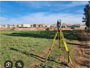
6. Instruments Used
-
Dumpy Level
-
Auto Level
-
Theodolite
-
Total Station
-
GPS/GNSS Receiver
-
Drone (UAV)
-
Levelling staff
Modern surveys commonly use Global Positioning System (GPS) and total stations for faster and more accurate results.
7. Basic Calculations in Levelling
A. Height of Instrument (HI) Method
HI = RL of BM + Back Sight
RL = HI – Fore Sight
B. Rise and Fall Method
Difference between consecutive staff readings determines rise or fall.
8. Scale of Topographic Maps
-
Large Scale (1:500, 1:1000) → Detailed
-
Small Scale (1:50,000) → Less detailed
9. Applications in Engineering
-
Road alignment
-
Railway design
-
Dam and reservoir planning
-
Building layout
-
Earthwork estimation
10. Advantages
-
Accurate ground representation
-
Essential for planning and design
-
Helps in drainage and flood studies